What is Flood Zone “A” and Why You Should Care
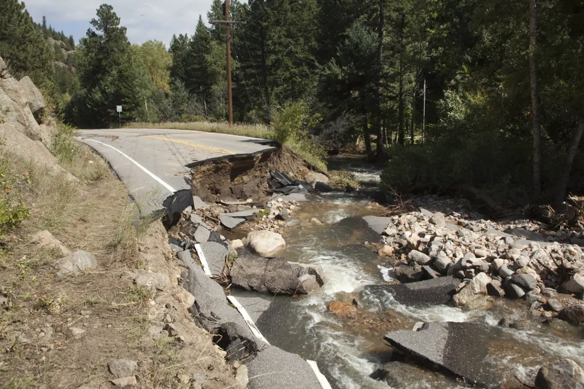
Flood zones are geographic areas defined by FEMA which are categorized by the potential risk for flooding at a particular location. There are several different types of flood zones. However, CIRSA’s most recent blog post discusses Flood Zone A, or any zone that starts with the letter A. Flood Zone A is an area determined by FEMA to have a 1 percent annual chance of flooding in any given year. Generally, but not always, these areas are located relatively close to rivers and other drainages. Many CIRSA Members have buildings in this flood zone, and this blog post aims to explain how flood coverage is altered for certain buildings in this zone.
Read Full Blog Post
- Hazard Alert & Poster: Legionella Risk in Building Water Systems
- Automated Decision-Making and Municipal Chatbots: Preparing for Colorado’s New AI Laws
- Hazard Alert & Poster: Cybersecurity Threats to Critical Infrastructure
- Teleworking from the Home Office: Workers’ Compensation Risk Considerations for Local Government Employers
- Movement of Deceased Persons by Law Enforcement Officers
- Hazard Alert & Poster: Pedestrian Bridge Inspections
- Hazard Alert & Poster: Legionella Risk in Building Water Systems
- Automated Decision-Making and Municipal Chatbots: Preparing for Colorado’s New AI Laws
- Hazard Alert & Poster: Cybersecurity Threats to Critical Infrastructure
- Teleworking from the Home Office: Workers’ Compensation Risk Considerations for Local Government Employers
- Hazard Alert & Poster: Pedestrian Bridge Inspections
- Hazard Alert & Poster: Safe Storage for Electric Vehicles